


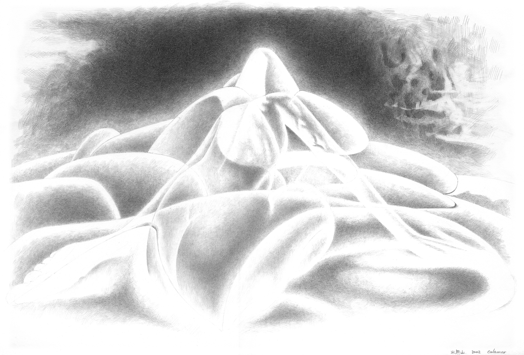
ケント紙に鉛筆, 257mm × 364mm, 2002年 / Pencil on paper, 257mm × 364mm, 2002.
水無山とは、文字どおり「水のない山」のことです。本当の名前は「位山・くらいやま」といい、岐阜県の飛騨高地の中央にあって、日本海側と太平洋側を分ける分水嶺になっており、高度は1,529mです。この山は、飛騨一宮の水無(みなし)神社の神体山になっているので、私が勝手に「水無山」とよんでいるだけなのですが……実際には水がないどころか、水はいっぱいあります。では、なぜ「水無」なのかといえば、この山に降る雨は、北側は神通川となって富山湾から日本海に流れ、南側は飛騨川から木曽川になって、伊勢湾から太平洋に流れていってしまうからでしょう。JR高山線に乗って、南側からこの山の下を通るトンネルを越えると、車窓から見える川の流れが逆転します。まことにふしぎな印象でした。位山については、次のリンク(ウィキペディア)を参照ください。<リンク>
Mt. Mizunashi(Mt. Suim) "is a mountain without the water" literally. The true name of this mountain is "Kuraiyama" (mountain of the first degree), and, in the center of Hida Highlands of Gifu, it is in the watershed to divide the Sea of Japan side and the Pacific side into, and altitude is 1,529m. I named this mountain "mizunasi"(without water) without permission, because I heard that this mountain is God himself of the Mizunashi Shrine that is the most important shrine at Hida district. However, in fact, against the name called "without water", there is a lot of water on this mountain. Then why it was named "without water"? The reason is that, the rain falling on this mountain, at the north side, water is flowing to the Sea of Japan, at the south side, water is flowing to the Pacific ocean, so, there is no water on this mountain. When I go over the tunnel via the bottom of this mountain on JR Takayama Line from south side to north side, the flow of a river seen from the train window reverses. It was a really mysterious impression. About Mt.KURAI, you can see next(Wikipedexia).<LINK>